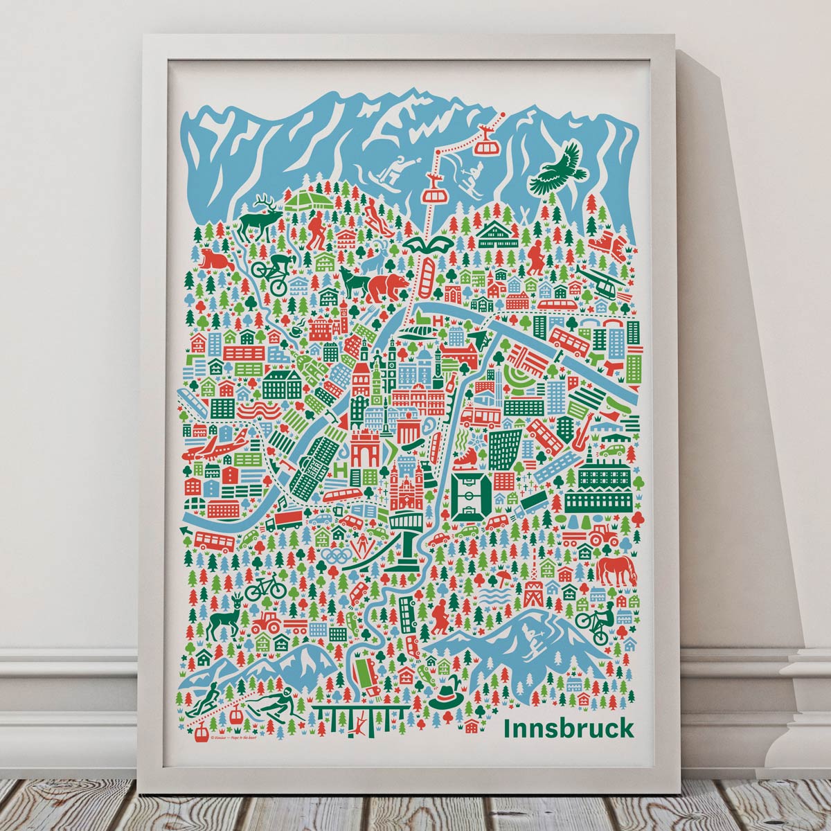
Illustrated maps are a charming and effective way to showcase regions, cities and destinations. They tell stories, evoke emotions and invite people to discover a place from a new perspective.
With their rich details, Vianina maps highlight not only geographical features but also the unique character of a region – from landmarks and cultural attractions to natural beauty and local treasures.
Whether used as a tourism map, marketing campaign, visitor guide or retail product, custom illustrated maps create attention and leave a lasting impression.
Vianina map illustrations appeal to people of all ages and backgrounds. They are a unique and memorable way to present your region and strengthen its identity.
Get in touch for a no-obligation inquiry:
hello@vianina.com